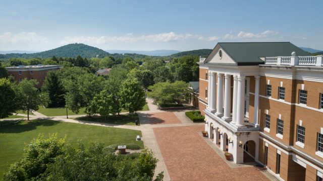
Finding Bridgewater is easy
Address
Bridgewater College
402 E. College St.
Bridgewater, VA 22812
Campus Map and Parking
- Download a Campus Map (.pdf)
- Download a Campus Map (Accessible Version) (.pdf)
Design and color choices used in this map were made to provide optimal accessibility for all persons. Directions also available by phone at (540) 828-8000 from 8 am – 4:30 pm Monday-Friday for anyone needing additional assistance. - Download a Campus Building Address List (.pdf)
Distances from:
- Washington, DC 140 miles (~2 hrs)
- Richmond 129 miles (~2 hrs)
- Nearest airport (SHD) 11 miles (~20 mins)
- Nearest train (Amtrak) 23 miles (~30 mins)
Driving Directions to Campus
From I-81 traveling north:
- Take Exit 240 – Bridgewater/Mt. Crawford exit
- Turn left onto VA-257 West
- Follow VA-257 West for 2.7 miles to the College’s brick entryway.
- Turn left on College View Drive and follow to the stop sign. Turn right on College Street.
- If visiting the admissions office, travel .3 miles and on the left, you will see a sign for the admissions office in Yount Hall. Just past Yount Hall, turn left into the parking lot for visitor parking.
- If attending a campus event, refer to the campus map for the location or look for event signage.
From I-81 traveling south:
- Take Exit 240 – Bridgewater/Mt. Crawford exit
- Turn right onto VA-257 West
- Follow VA-257 West for 2.7 miles to the College’s brick entryway.
- Turn left on College View Drive and follow to the stop sign. Turn right on College Street.
- If visiting the admissions office, travel .3 miles and on the left, you will see a sign for the admissions office in Yount Hall. Just past Yount Hall, turn left into the parking lot for visitor parking.
- If attending a campus event, refer to the campus map for the location or look for event signage.
Transportation Options to and from Bridgewater
Bridgewater College provides the following information as a service to students and visitors. The College makes no representations as to the safety or quality of, nor does it guarantee satisfaction with, any of the providers or organizations listed below.
By Plane
- Baltimore/Washington International (BWI) 410-859-7111
- Charlottesville/Albermarle (CHO) 434-973-8342
- Dulles International (IAD) 703-572-7200
- Reagan National (DCA) 703-417-8000
- Richmond International (RIC) 804-266-3000
- Shenandoah Valley Regional (SHD) 540-234-8304
By Bus or Rail
- Amtrak 800-872-7245
- BRITE Bus (BRCC North Shuttle) 540-943-9302
- Green Shuttle 540-810-2074
- Valley Connector 540-624-3011
By Car/Taxi
- ABC Cab Company540-564-1214
- Royal Cab540-438-7777
- Yellow Cab 540-434-2515
- Zipcar 866-494-7227


